Drone
Aerial Drone Photography & Video
Show buyers the property, surroundings, views, acreage, and location from a completely different perspective.
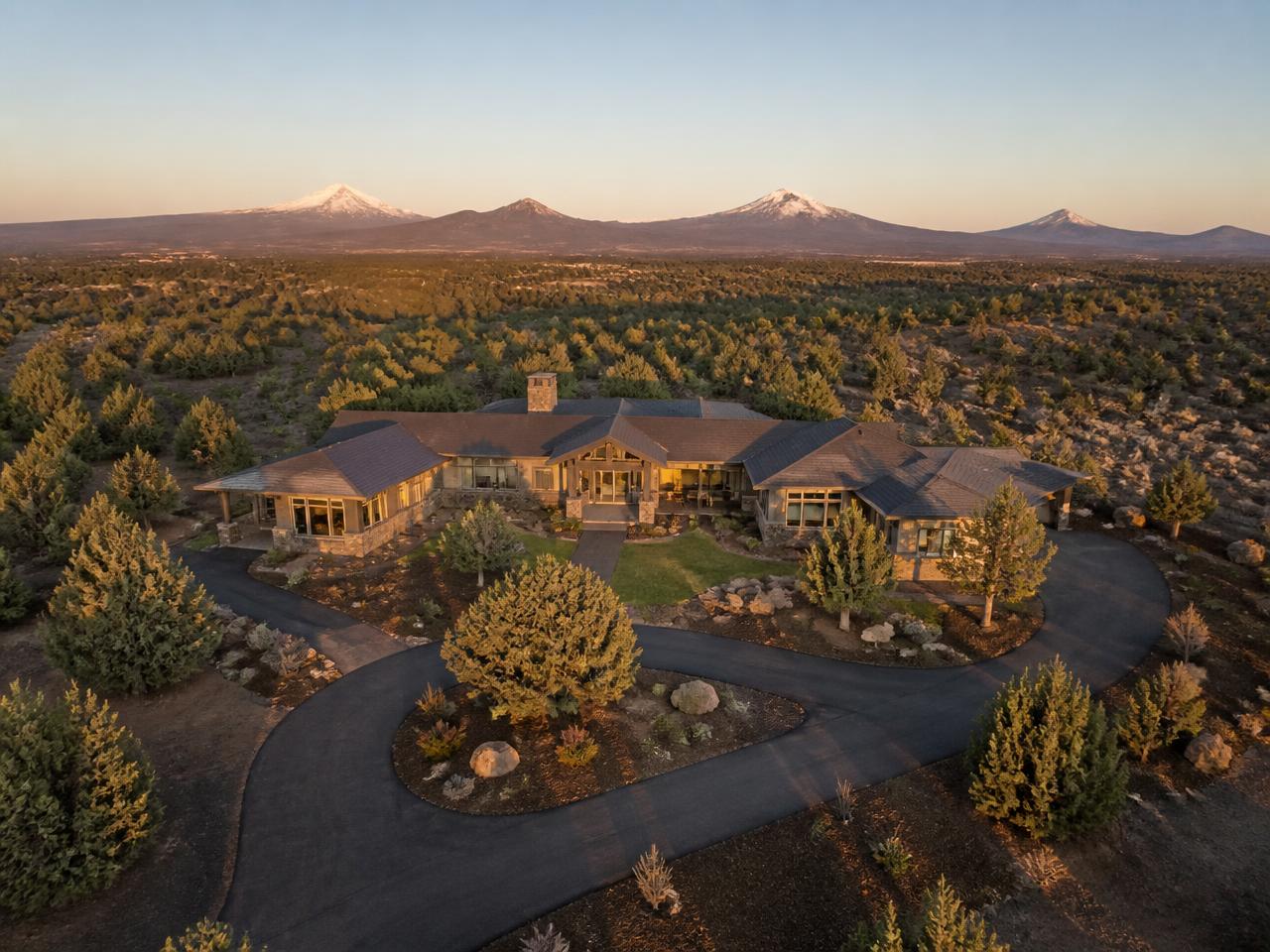
Context sells Central Oregon property
Acreage, mountain views, river frontage, and proximity to trails or town are often the reason a listing is worth what it is worth. Aerial frames make those things obvious in a single image instead of asking a buyer to imagine them.
Boundaries and orientation
Elevated overview shots show where the lot begins and ends, how the home sits on the land, and what surrounds it — useful for rural and large-lot listings around Tumalo, Sisters, and Pronghorn.
Airspace and conditions
Some Central Oregon addresses sit inside controlled airspace and require authorization before a flight, and wind, smoke, and snow can move a shoot. Send the property address early and we will confirm what is possible for that location.
What's Included
- Aerial photography
- Aerial video
- Property overview shots
- Neighborhood and location context
Drone services are provided where weather, airspace, and regulations permit.
Book a ShootSee packages →
Ready to Make Your Next Listing Stand Out?
Book professional real estate photography and media throughout Bend and Central Oregon.